
At King’s College London Archives our remit is to preserve and provide access to the material in our care. This project is an experiment in how we might apply that philosophy to digitally preserve our physical objects and spaces.
The buildings of King’s have a rich history and have changed much over the years. The Chapel is a central part of that history and has undergone significant changes, so it seemed the perfect space to record.

Originally, the Chapel was a very simple space, but the College decided in 1859 that it should be reconstructed. Famed architect George Gilbert Scott submitted a design that was approved and completed in 1864. He proposed that the form of a basilica was most appropriate. The east wall was extended out to create the apse, and the pitched roof made for a much grander space.
The Chapel underwent other major changes in the 20th century; in the 1930s the ceiling was lowered to make way for new rooms above and in the 1940s the stained-glass windows were replaced after damage during the war. The walls have been whitewashed and repainted, the lighting has changed, and the organ has undergone major restoration work. A more detailed history of the Chapel can be found on the King’s website.
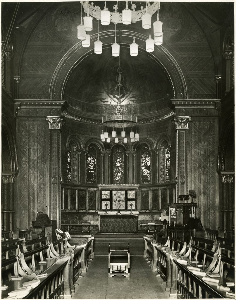
The key point is that the Chapel has changed so much over the years and we only have a few photographs and sketches that show how it was in each of those states. We don’t know how it might change in the future.

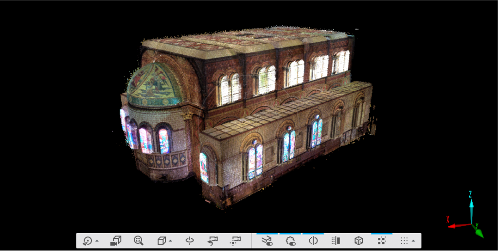
Inspired by the work of Andrew Tallon, the historian who recorded Notre Dame Cathedral a few years before the disastrous fire that damaged so much of it in 2018, we decided to create a 3D model of the Chapel as it is now using a laser scanner.
We used a Faro Focus s70 to create our model. The scanner works by sending out an infrared laser beam which is reflected back to the scanner when it reaches a surface. The distance to the surface is measured by analysing the shift in the wavelength of the beam once it has returned. Combined with the information about the angle of the scanner when the beam was sent, this gives us one point in 3D space, also called a ‘vertex’.
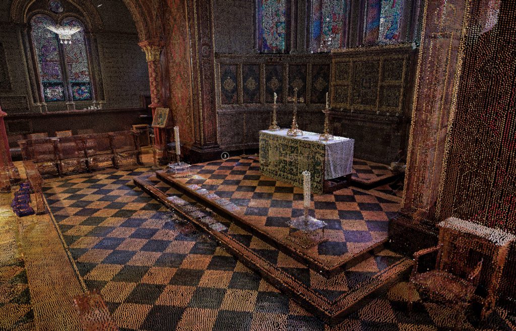
By bouncing the beam into a spinning mirror and rotating on a tripod the scanner records the location of millions of points all around it, eventually creating what’s known as a ‘point cloud’, which is accurate to within a few millimetres. It then photographs the space and uses this information to assign each vertex a colour.

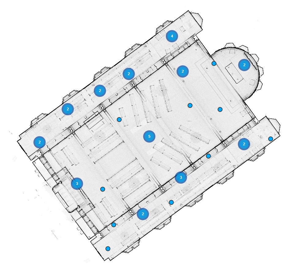
The scanner can only record what it is in its line of sight. The Chapel is a very complex space in this regard; the numerous pillars and pews meant that several scans had to be combined to create the full point cloud.
The full point cloud is made up of around 600 million vertices, which is much too complex to explore in a web browser. The online version is only made up of around 4 million vertices, so if you look at that you should get an idea of how dense the master version is. You can explore the online version below. (or click this link if you can’t see the embedded model).
We now have a snapshot of how the Chapel exists today. This can be used in the future for research, conservation, and to provide remote access for people to explore the space online.
In the future we could improve on the model by using equipment to perform additional scans from much higher angles (you can see that there are gaps in the point cloud where we couldn’t get line of sight).
Another goal would be to combine the laser scanning with another technique called photogrammetry; this technique involves taking photographs from all angles around an object or space and using software to stitch them together into a 3D model. The laser scanning is more accurate but doesn’t create a textured model; combining the two techniques would create an accurate, textured model. This would be difficult to do, given that the Chapel is a busy space and the pews are liable to move, but it is something to investigate.