Introducing a new member of King’s Geocomputation – Dr Chen Zhong! Chen joined King’s College London in September 2016 and her work on urban mobility directly contributes to the Geocomputation Research Domain. Here she provides a brief intro to her work.
“Space shapes transport as much as transport shapes space, which is a salient example of the reciprocity of transport and its geography.”
– Rodrigue, Comtois et al. 2013
Quite often, I use this quote to explain the behind story of my research. And I keep on correcting people that I am working on urban mobility, not transportation. The former, to me, has a much broader meaning and is about people and their interactions with the built environment.
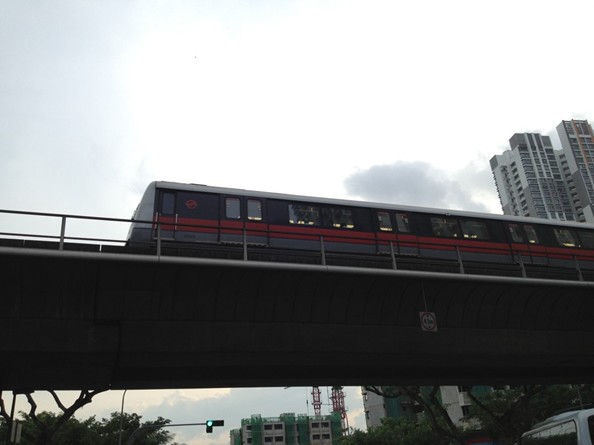
Train in the sky, Singapore, 2013, source: Google
About Urban Mobility data
Most of my research explores the usage of automatically generated urban mobility data, such as smart-card data (my main source), mobile phone data and social media data. These types of data are generated by “citizens as sensors” as described by Goodchild (2007). People are carrying all kinds of sensors, such as mobile phones, smart wristbands and so on, all the time. The network formed by such sensors consists of the people themselves; therefore, it contains explicit spatial as well as implicit social information. These data sets offer us new potential to have a direct look into human behavior.
Compared to conventionally surveyed data, sensor data has a significant advantage in terms of granularity, coverage, efficiency and reliability. However, they are not perfect and often demographic information about the people carrying the sensors is absent. Nevertheless, these data sets still have a significant advantage for pattern detection and behavior analysis, thanks to its large sample size and less questionnaire bias. The challenge here is that data are collected with untapped purpose. We need be creative to make the best use of it and how. This challenge, as I see, is also the beauty of the “Big Data” concept.
Smart–card data
I would like to show a few examples from my previous research – big data informed urban planning – which is one of many potential uses of mobility data. The first is about investigating functional urban changes in Singapore. There, we used a set of urban indicators to identify human activity centres and boundary of urban regions. Changing structure of traffic flows over years proved the successful implementation of decentralization in Singapore. Moreover, the significantly growing emerging sub-centre reveals how rapid the urban development of Singapore has been. This is definitely unique among all developed countries. When we mapped out the redrawn regional boundaries (see image at top), even a non-analytical government officer immediately interpreted the graphics and presented us the impact of new development on people’s locations choices.

One-north MRT station, Singapore, 2013
Note: Smart-card data is generated by automatic fare-collection systems. In London, it is Oyster card data. To find out more about smart-card data, and the above mentioned work, see my paper on detecting the dynamics of urban structure through spatial network analysis.
Comparing Cities
It is always interesting to compare things. We compared three world cities, namely London, Singapore and Beijing. You may expect Singapore to be the one with the most regular travel patterns using public transportation. Beijing, however, has the highest regularity with respect to “when to travel” and is second with respect to “where to go”. The most important reason is the regular passenger control measure which is applied to about 40 stations where passengers are held outside the stations before being allowed to enter at regular time intervals during the morning peak. Such queues can last for miles. Passengers can either wait there, search or use an alternative station or mode according to their situation. Moreover, this inconsistency of regularity can also subscribe to another unique phenomenon in Beijing which is due to Vehicles Plate Number Traffic Restriction Measures where many private car owners drive a car on most days but for one day use public transport system. Though people in China sometimes complain about the inconvenience of such policy, it indeed helps reducing Carbon emissions and relieving road congestion. Read more about this in my paper entitled Variability in Regularity: Mining Temporal Mobility Patterns in London, Singapore and Beijing Using Smart-Card Data.
Outlook
Looking forward I have some ideas in mind and could easily list at least three directions:
- Comparative study of cities using urban mobility data (of course, not limited to smart-card data) is an option, and is already ongoing;
- Linking urban mobility patterns to urban health is another direction that could greatly widen the horizon of my research;
- Cross-checking detected patterns with multi-sources data could enhance and deepen previous findings.
If you are interested in any of these ideas or you want to chat about your great idea, please do not hesitate to contact me. To read more, click here.
References
Goodchild, M. F. (2007). “Citizens as sensors: the world of volunteered geography.” GeoJournal 69(4): 211-221.
Rodrigue, J.-P., et al. (2013). The geography of transport systems, Routledge.

![]()